
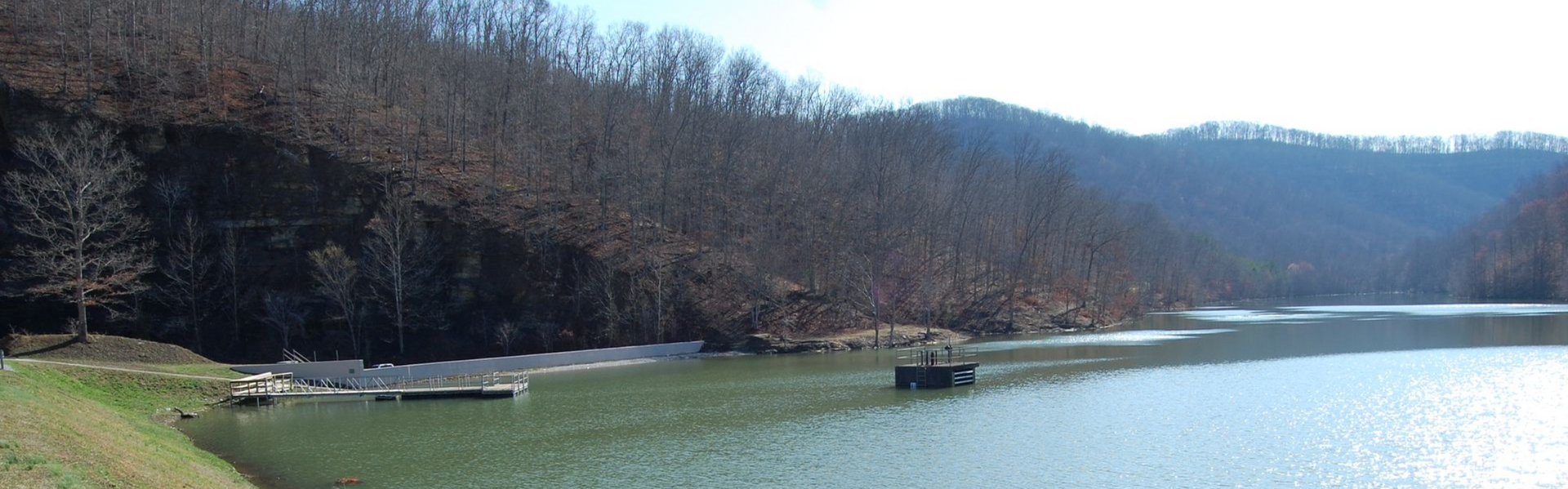
Land Surveying
Land surveying is crucial for many projects, but its importance is often overlooked. Rhody Engineering offers various land surveying services in the Central Kentucky Area, with a professional yet personable approach. We share the basics of land surveying to give you an understanding of the process and the many available types.
What Is Land Surveying?
Land surveying measures angles, distances, and elevations to determine a piece of land's boundaries and characteristics. A surveyor uses measuring instruments, GPS, total stations, and historical information to compile accurate data about the property. A land survey is necessary for real estate transactions and settling boundary disputes.
When Should I Consider a Land Survey?
A land survey is vital when purchasing land. It will ensure no surprises or disputes about boundaries after the sale. You should consider hiring a surveyor before building or adding an element to your home to avoid overstepping your property’s boundary. If you begin a project without a survey, you may have to pause construction, which can be a costly interruption. You may want to survey yourself, but your results will not be legally valid without the necessary licensure and credentials.
The Most Common Types of Land Surveys
Of the various types, boundary surveys and topographic surveys are the most common. A boundary survey takes precise measurements of a piece of land to determine a property’s lines and corners. A topographic survey measures changes in elevation and the dimensions of natural and artificial features to create a 3D property map. Topographic surveys are necessary for construction, major renovations, grading, and drainage plans.
Land Surveying Services We Offer
No matter what type of survey you need, Rhody Engineering is ready for every project.
Check out our extensive list of services for various needs:
Home & Land Owners
- Boundary Surveys
- Subdivision Plats
- Minor Plats
- ALTA Land Title Surveys
- Mortgage Inspections
- Elevation Certificates
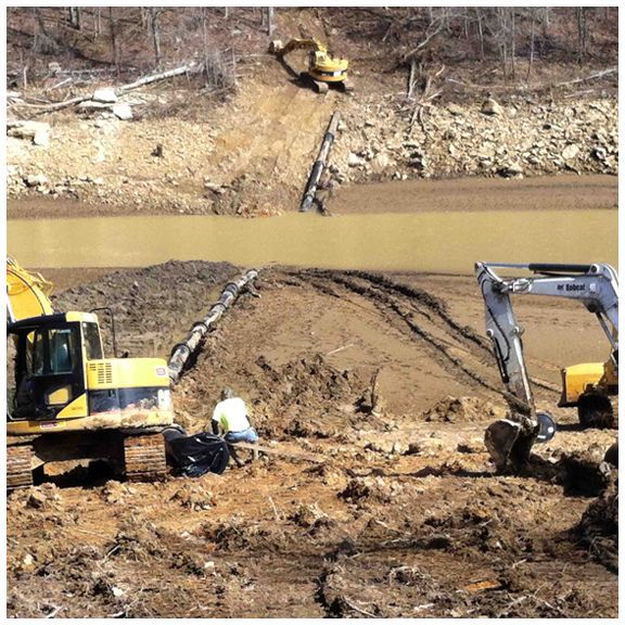
Construction Professionals
- Topographic Surveys
- As-Built Surveys
- Structural Surveys
- Route Surveys
- Flood Study Surveys
- Environmental Surveys
- Control Surveys
- GIS Mapping
- Drafting Services
Engineering Professionals
- Construction Layout
- Foundation Surveys
- Record Surveys
- Monitoring
- Drafting Services
The 4 Steps of Land Surveying
How Much Does a Land Survey Cost?
The final cost of a survey varies significantly due to several factors, costing between a few hundred to thousands of dollars. The final expense for your land survey will depend on these factors:
- Property size
- Complexity of property
- Survey type
- Location
- Additional research, when necessary
Land Surveying FAQs
Q: How long does a land survey take?
A: The exact amount of time varies with the size of the property, but most residential land surveys take between two and five business days. We suggest erring on the side of caution and planning for the survey to take up to 10 business days.
Q: What information do I need to give the surveyor?
A: Generally, you should have the following things available:
• The type of survey you need
• A copy of the deed
• Any plans or other information you have regarding existing property lines or corners
• The contact information for adjacent landowners, if possible
• A brief history of property ownership
• A list of disagreements about property lines, easements, or encroachments
Q: What is an easement?
A: Easements allow third-parties legal access to a portion of your property. For example, a utility company may require an easement to lay pipes or install electrical equipment on your property. A neighbor may request an easement to use a private road to access their driveway or wooded areas to hunt.
Q: What is encroachment?
A: An encroachment is an adjacent property owner's use of your property without your consent. Most encroachments are minor, such as a fence built an inch over the border onto your property or overgrown landscaping. Major encroachments are less common and include things like a shed or garage built over the property line.
Hire a Land Surveyor in Central Kentucky
Working with an experienced, reputable firm like Rhody Engineering is essential when you need a land survey. We pride ourselves on providing unrivaled service at competitive prices. Contact us today for a quote or more information about our services. Rhody Engineering proudly serves Lawrenceburg, KY.